

Maps of the United States & Southern Slave States


Understanding the Geography of Enslavement in America
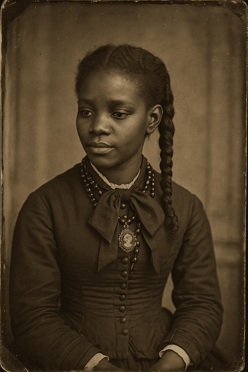
The legacy of slavery in the United States is deeply rooted in the geography of the nation, particularly the Southern states, where millions of African men, women, and children were held in bondage for generations. To fully trace family histories, migration patterns, and ancestral stories, it is essential to understand the historical maps that define the landscape of slavery in America.
Interactive Maps & Historical Resources
- ➡️ 1. United States (Pre-Civil War Era) Map Explore the political and territorial divisions of the U.S. before the outbreak of the Civil War in 1861. Understand how the nation was geographically divided between Free and Slave states.
- ➡️ 2. Southern Slave States Map This detailed map outlines the 15 Southern states where slavery was legally practiced prior to the Emancipation Proclamation. The states include:
Printable Maps:
*Denotes Border States where slavery was legal, but which remained with the Union during the Civil War.

welcome to
mapping the freedmen's bureau
Founded by leading African American genealogists Angela Walton-Raji and Toni Carrier, the site provides a comprehensive map-based interface that connects users to specific Freedmen’s Bureau field offices, hospitals, contraband camps, Freedmen’s Savings Bank branches, and U.S. Colored Troops (USCT) battle sites across the Southern United States.


Historical Maps
Explore the historical geography of slavery, emancipation, and Black resilience in America. These maps provide essential tools for genealogists, historians, and families tracing their ancestral roots.
Interactive U.S. Maps
The website MapofUS.org is a popular free resource that provides historical and interactive maps of U.S. states, including county boundary changes, territorial maps, and other historical cartographic resources.