


State Maps


Southern Slave State Maps
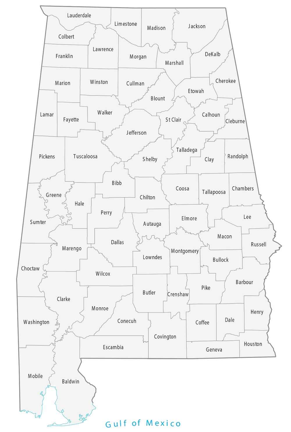
Southern slave states in the United States, historically referred to as the “Slave States” or the “Antebellum South,” were those states in which the institution of slavery was legally established and widely practiced prior to the American Civil War (1861–1865). This region was characterized by a social and economic system heavily dependent on agriculture, particularly the cultivation of cash crops like cotton, tobacco, and sugar cane, which were labor-intensive and thus reliant on slave labor.
The main Southern slave state maps are below:
Downloadable Maps
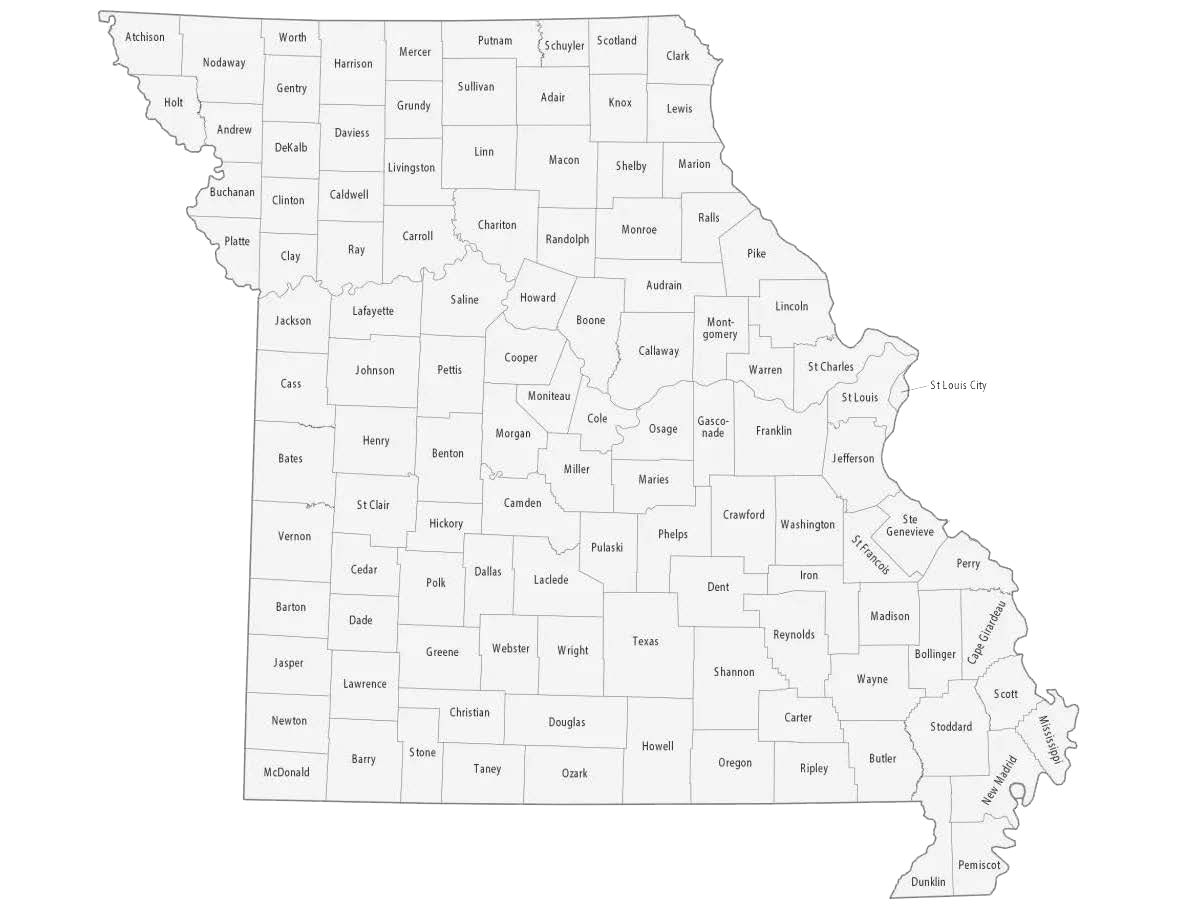
In addition to these, there were also states known as “border states,” which were slave states but did not secede from the Union. These included Delaware, Kentucky, Maryland, and Missouri.
The Southern slave states formed the core of the Confederacy during the Civil War. The social and economic structure of these states was deeply intertwined with the institution of slavery, shaping not only their economic practices but also their cultural, political, and social norms. The Civil War, fundamentally a conflict over the future of slavery in the United States, led to the eventual abolition of slavery with the ratification of the 13th Amendment in 1865. This marked a profound transformation in the Southern states, leading to Reconstruction and a long and complex process of social and political change.
Northern Slave State Maps
Those states in the North where slavery was legally practiced, particularly during the 17th and 18th centuries. The trajectory of slavery and its abolition in these states is an essential aspect of American history, especially considering the early timing of these emancipation laws relative to the international age of abolition.
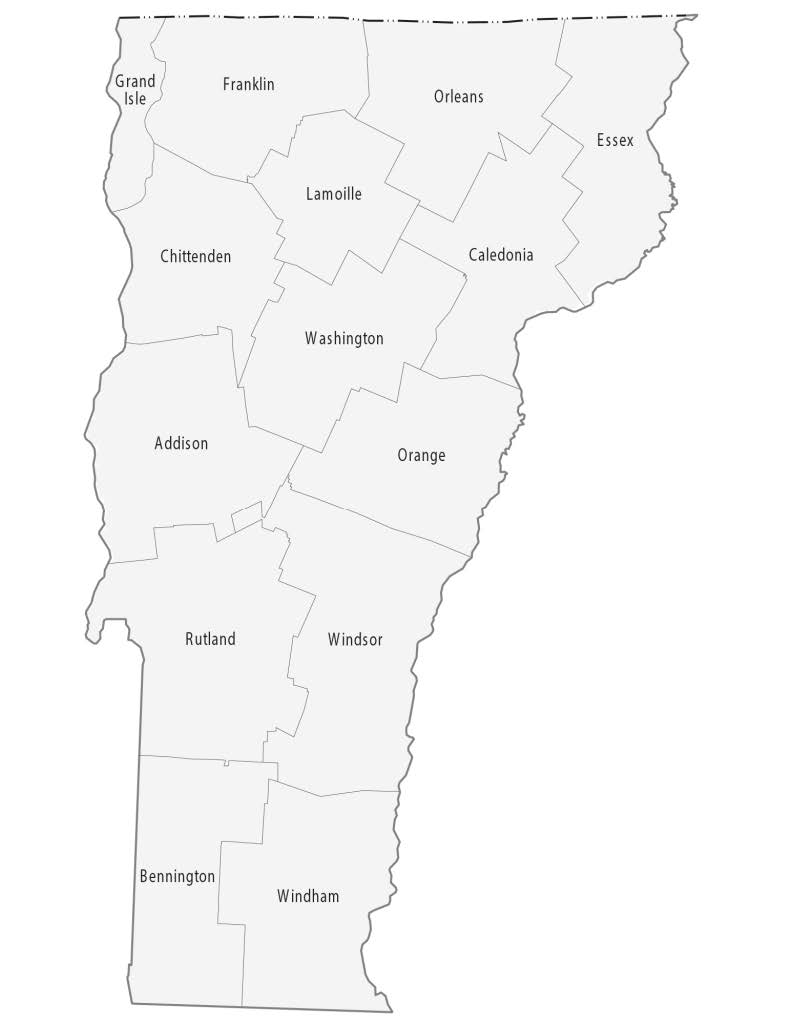
Vermont: Vermont was a leader in the movement against slavery, with its 1777 constitution making it the first state to abolish slavery.
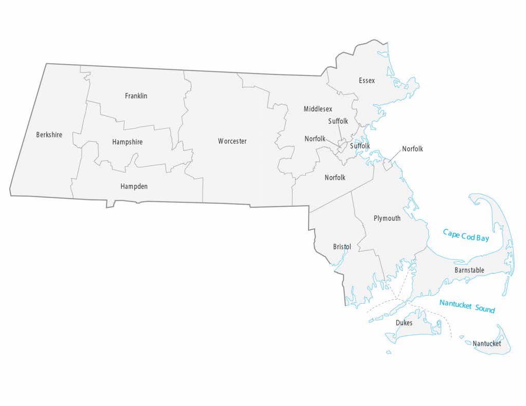
Massachusetts: The Massachusetts Constitution of 1780 included language that was interpreted as effectively abolishing slavery, as confirmed by court decisions in 1783.
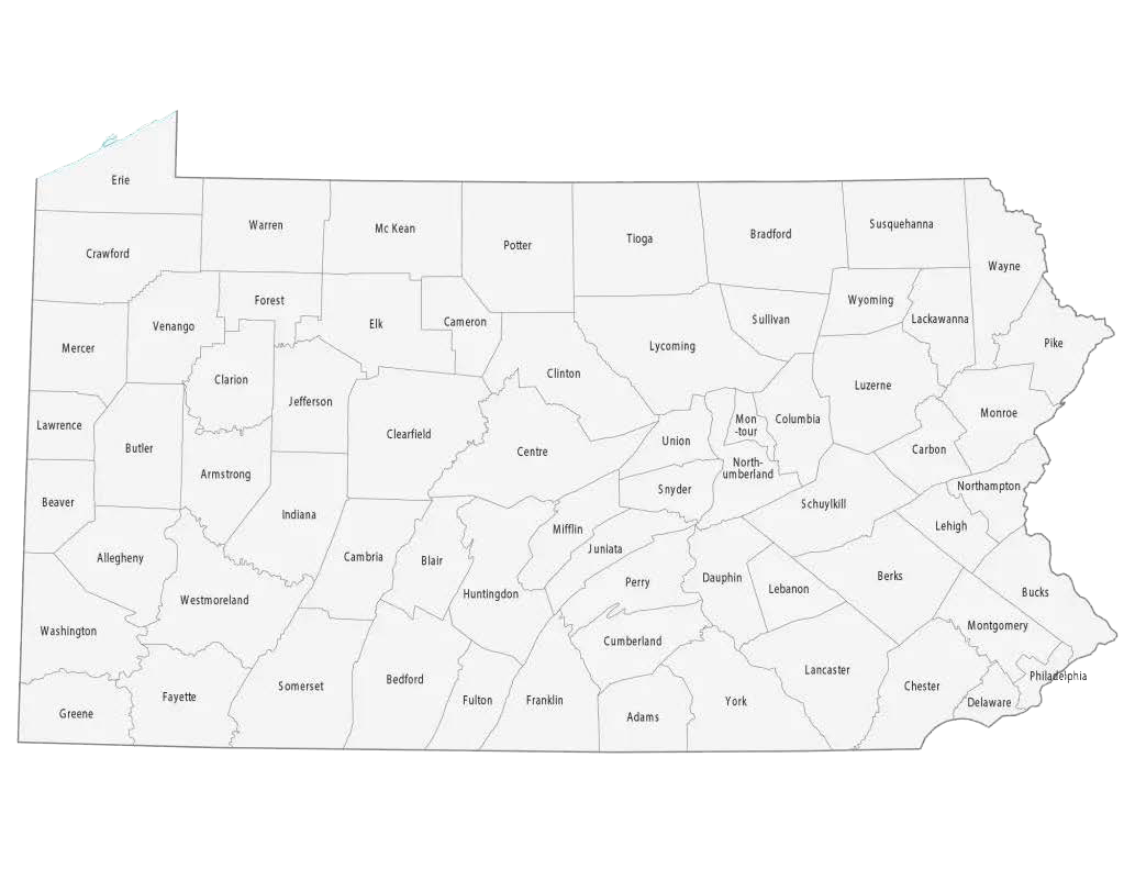
Pennsylvania: Pennsylvania passed the Gradual Abolition Act in 1780, which was the first attempt by a government in the Western Hemisphere to begin an abolition of slavery. This law did not immediately free any slaves, but it did prevent the future enslavement of any child born to a slave mother in Pennsylvania.
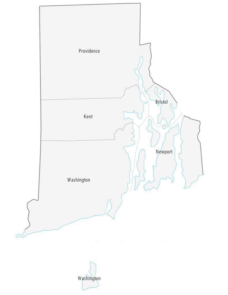
Rhode Island and Connecticut: Both of these states passed acts in 1784 for the gradual abolition of slavery. These laws stipulated that children of slaves born after March 1, 1784, would serve an apprenticeship and then be freed.
New York: New York initiated a gradual emancipation in 1799, which was not completed until July 4, 1827. The law freed future children of slaves, and all slaves in 1827.
New Jersey: New Jersey, the last of the Northern states to start gradual abolition, passed a law in 1804 that led to a very gradual decline of slavery, which was not completely abolished until after the Civil War.
These laws were significant as they represented some of the earliest moves toward the abolition of slavery in the Western world. They reflected a growing sentiment against slavery in the North, influenced by both Enlightenment ideals and religious convictions. The gradual nature of emancipation in these states often meant that slavery did not end immediately but set a precedent for future abolition movements.
It’s important to note that the definitions of “northern” and “southern” states, particularly in the context of the Civil War era, are more complex than a strict geographic divide. The Mason-Dixon Line, which divided Pennsylvania and Maryland, is often referenced as a symbolic divide between North and South, but the cultural and political realities were more nuanced. States like Delaware, Maryland, Missouri, and Kentucky had significant ties to both the North and the South, and their status regarding slavery reflects this complexity.
In the years leading up to the Civil War, the issue of slavery in territories and states was a major political concern, leading to various compromises and legal measures like the Missouri Compromise and the Compromise of 1850, which attempted to balance slave and free states in Congress and manage the expansion of slavery into new territories.
Delaware: Although technically a border state, Delaware is often included in discussions of northern slave states. It was a slave state but had a relatively small number of slaves compared to Southern states.
Maryland: Another border state that often finds itself grouped with Northern states in certain historical contexts. Maryland maintained slavery until the end of the Civil War.
Missouri: While generally considered a border state, Missouri is sometimes included in discussions of northern slave states due to its geographic location and the fact that it was a slave state.
Kentucky: Like Missouri, Kentucky is another border state that had legal slavery and is occasionally included in discussions of northern slave states.
Downloadable Maps

Jesuit Slaveholding in Maryland
Map of the Jesuit Plantations in Maryland – GU272 Project